
Phase 2 underway — since 9 April 2026. SMART-CH4 continues for 12 months, integrating methane hotspot detections into regional inversions and correcting stratospheric model biases. Read more →
12
partners
40–50
researchers
17+
publications
2
phases
3
satellite products improved
217
persistent methane source regions mapped
SMART-CH4 and the Horizon Europe IM4CA project work together within the EC-ESA Methane Cluster — part of the EC-ESA Earth System Science Initiative — combining field observations, satellite remote sensing, atmospheric chemistry and inverse modelling to quantify methane sources and sinks from single facilities to global budgets. More than 30 institutes across Europe, North America and Africa.
Four improvements delivered into the operational Sentinel-5P product, and TROPOMI/WFMD v2.0 released — with 40% more usable data over the Arctic.
217 persistent source regions mapped from TROPOMI. The Sudd wetland in South Sudan alone emits ~4.5 Mt/yr — roughly five times what state-of-the-art emission datasets predict for the region.
Five satellite systems agree the Vidra landfill releases roughly 1–3 tonnes of methane per hour. Its official E-PRTR filing amounts to about 0.05 t/h.
AirCore balloon profiles show models systematically overestimate stratospheric methane — and that error propagates straight into satellite-derived emission estimates.
Methane (CH4) is a potent greenhouse gas contributing significantly to climate change. Due to its relatively short lifetime, mitigation efforts on CH4 emissions could rapidly and efficiently pay off to limit climate change. The main satellite instruments contributing to the current understanding of the methane budget are TANSO on-board GOSAT, TROPOMI on-board Sentinel-5P, and IASI on-board METOP-B and METOP-C, plus high-resolution imagers such as GHGSat, PRISMA and EnMAP.
The full picture: the methane problem, why satellites, and the two open bottlenecks →
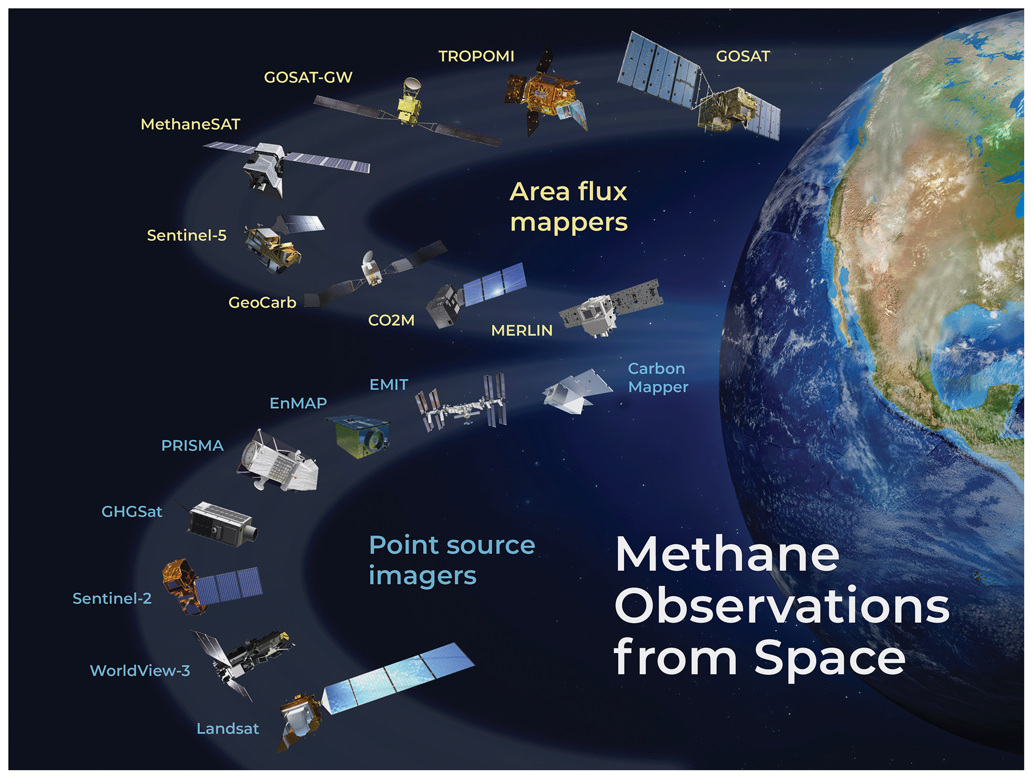
Satellite instruments for observation of methane (from Jacob et al., 2022)
SMART-CH4 runs in two phases: Phase 1 (2024–2026), completed, which built and validated the improved products described in Results; and Phase 2 (2026–2027), running now, which merges point-source and regional-scale emission quantification and tackles the stratospheric bias in global inversions.
SMART-CH4 is an ESA initiative, coordinated by CEA-LSCE and carried out by an international consortium of academic and industrial partners, with new partners joining for Phase 2.
The Requirement Baseline Document and Technical Notes 1 & 2 are complete.
SMART-CH4 datasets are registered in the ESA Open Science Data Catalogue.
For further requests or information, please contact: